Under The Ice
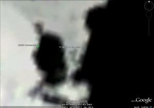
Minutes after the glider was deployed we encountered our first challenge. We knew that the ice conditions would determine where we could deploy and that the conditions might not be ideal. Well we did have ideal conditions for the deployment, nice weather, calm seas, and immediate access to open water. The only downside to this location was that about 4 miles away was a region of pack ice over 3 miles wide that spearated the glider from the large area of open water called the Ross Sea Polynya.
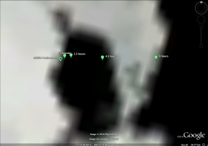
So we had to fly the glider out across this open water area and beneath this pack ice. Our challenge was to fly the glider under the pack ice without trying to surface through the ice! So we to ran a series of three shorter missions to maneuver the glider across the open water and close to the edge of the pack ice. This image shows the glider’s location when it called us from the ocean surface. The time of each surfacing after the deployment is shown for each location. You can see that after 4. 5 hours, we were ready to send the glider on a long mission under the ice.
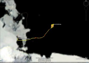
When the glider surfaced just inside the edge of the pack ice, we knew we had to adjust the mission to lengthen the time the glider swam below the surface to get it out beyond the pack ice. We sent the glider a new set of commands to complete 4 deeper dives to 400 meters. This longer mission gave the glider enough time to fly beneath the ice and come up on the other side!
The glider is now making its way out beyond the reach of the sea ice and into the open waters of the Ross Sea Polynya. As of tonight, the glider has traveled over 50 km collecting information on the ocean conditions from the sea surface to the ocean floor about 600 m below.


 December 13, 2010


4 Responses to “Under The Ice”