Breathtaking Icebreaking
We spent all day today just outside McMurdo Station, docked to a tanker and refueling. Most of the scientists relaxed, or talked about what they hoped to find in their next sampling stations, or sneaked into the galley to see when the cook brought out warm cookies. (For the record, it was about 8 p.m.)
Technically, we weren’t here all day—we arrived at McMurdo about 4 a.m. From midnight until four we steamed through ice along the west side of Ross Island. The air was calm, the visibility seemed limitless, penguins yelped at us as we went by, and the scenery was unforgettable. Read on through the slideshow for a few examples of what we saw:
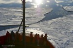
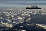
- The ship’s engines hummed quietly through the still water, then crashed into loose floes like these. People crowded the bow to watch, listen, and take pictures. (The wind-formed ridges and arcs on the floes are called sastrugi.)
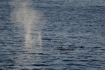
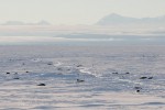
- We passed through several bands of loose ice floes followed by open water. In these patches were a few dozen whales, including this minke that has just spouted. You can see its small dorsal fin just right of the breath cloud.
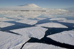
- Broken sea ice stretches to the shore of Ross Island. Behind it is Mt. Erebus, the 12,400 foot mountain that dominates the skyline. It’s an active volcano with a lake of lava at the top—and during summer there are scientists that live up there and study it.
- Hundred-foot glacier cliffs are dwarfed by the lower slopes of Mt. Erebus. The rocky peak of Hut Point Peninsula, where McMurdo Station is, has thrown the middle of the image into shadow. Snowdrifts stretching away to the left show that the prevailing winds come from the right (the south).
- We didn’t expect to run into tourists on our voyage at the bottom of the world. But here’s a Russian ship pulled up in the ice channel just a few miles north of McMurdo. It’s taking people to see the sights of the southern Ross Sea.
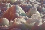
- The last 9 miles of the way in to McMurdo is a channel of previously broken ice, much of which has refrozen. The turned up sides are aqua blue. The pink-orange colors come from the setting sun reflecting off the orange hull of the Palmer.
- A vast stretch of unbroken sea ice lies between us and the Royal Society mountain range. Weddell seals have taken the opportunity to haul themselves out and enjoy the sunshine.
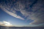
- At 3 a.m. the sun was low along the southern horizon. This is about as low as it gets each day—as the Earth turns and day goes on it will climb into the sky and move to the left (eastward). It’s slowly getting lower in the sky, and by late February there will finally be some darkness again.
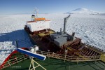
- At 4 a.m. we pulled up to the oil tanker that is here to resupply McMurdo Station. I thought it was a good idea they had painted ‘No Smoking’ in such big letters on the wall.
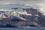
- Tonight we’ll be heading back out past beautiful rock slopes like these on Mt. Bird at the north end of Ross Island. The bands of reddish rock have a lot of iron in them. The magnetism of that iron is one reason we can’t stop at McMurdo to calibrate our malfunctioning glider compass (see yesterday’s post). Tomorrow morning, we’ll give calibration a try on the sea ice.
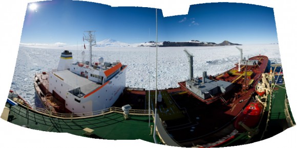
Just for fun, Chris went to the high point on the ship (the ‘conning tower’) to get this panoramic photo of the Palmer tied up to the tanker, with the ice and McMurdo Station in the background. The image is curved because Chris used a wide-angle lens and stitched together several images. That’s Mt. Erebus in the distance.


 January 29, 2011


10 Responses to “Breathtaking Icebreaking”